Baker Lake - ᖃᒪᓂᑦᑐᐊᖅ
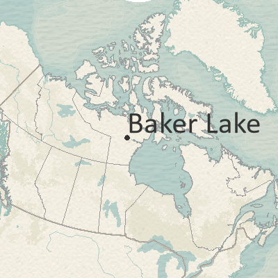
Qamani'tuaq is situated inland on the freshwater Baker Lake, and at the mouth of the Thelon River. This area has always been a traditional gathering place for Inuit summer hunting and fishing. The local economy has seen increased mineral exploration and development activity. The community’s hunting and fishing area includes Baker Lake, Chesterfield Inlet, the Thelon and Kazan Rivers, and Schultz, Aberdeen, and Tehek Lakes.
The CRN research team visited the community in February 2019. Team members held participatory mapping workshops with the Hunters and Trappers Association, Hamlet staff, Elders, and other resource users, collecting observations on coastal health and changing coastal conditions. Participants provided all data illustrated on this map.
At the time we visited the community, no urgent coastal issues or community restoration priorities were identified. However, based on other studies, key restoration priorities included: the monitoring and testing of water near the mine sites, fisheries development studies, and the remediation of contaminated sites.
To learn more about Baker Lake (English version), please download our research profile here. If you would like to view the Inuktitut version of our research profile, please download here.
By accessing this map, visitors are agreeing to our Terms of Use.
To navigate the map: Click on the map icons to display additional information. [»] / [«] Expand or collapse the legend. [>] Toggle the map layers on or off. [+] / [-] Zoom the map in or out. [⌂] Reset the map extent.
Explore the Communities
KITIKMEOT
Cambridge Bay | Gjoa Haven | Kugaaruk | Kugluktuk | Taloyoak
KIVALLIQ
Arviat | Baker Lake | Chesterfield Inlet | Coral Harbour | Naujaat | Rankin Inlet | Whale Cove
QIKIQTAALUK
Arctic Bay | Clyde River | Grise Fiord | Igloolik | Iqaluit | Kimmirut | Kinngait | Pangnirtung | Pond Inlet | Qikiqtarjuaq | Resolute | Sanikiluaq | Sanirajak